They measure the decline of glaciers, record the movement of continental plates, and enable early warning of landslides, rockfalls, or building failures with sophisticated monitoring systems. They determine the distances at athletics competitions, secure the ownership rights of land in Austria and worldwide by means of cadastral surveying. They document historic cities, buildings and objects in three dimensions, preserving them for posterity. But that’s not everything by a long stop. Yesterday's surveyors have long since arrived in the present.
Fields of application without borders
Geodesists today are digitizing the entire world and helping to understand global, regional, and local changes. But they also work in the other direction and transfer digital data into nature. ( Werner Lienhart)
"Geodesists today are digitizing the entire world and helping to understand global, regional, and local changes. This makes it possible, for example, to objectively assess the effects of climate change. Geodesists also work in the other direction and transfer digital data into nature. In this way, skyscrapers can be built with the correct position and elevation, tunnel boring machines can be controlled or parts of automobiles, ships, aircraft or luxury yachts can be manufactured with the help of three-dimensional digital models," explains Werner Lienhart, head of the Institute of Engineering Geodesy and Measurement Systems at Graz University of Technology (TU Graz). "The applications of geodesy are almost limitless."
More information on the Bachelor's Programme in Geodesy and on perspectives after-wards can be found on the Graz University of Technology website under "Bachelor's Programme in Geodesy".

Geodesists at TU Graz calculated a most accurate gravity field determination of the Earth using 1.16 billion satellite measurements. This yields valuable knowledge for climate research. The graph-ic shows the ice-sheet loss in Greenland.
Growing professional sector
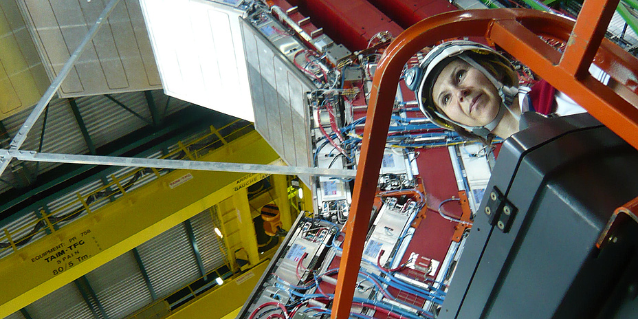
Geodesy is currently one of the fastest growing professional sectors worldwide in part due, but not exclusively, to the increased occurrence of natural disasters. Graduates are usually recruited directly away from the university. The Institute of Engineering Geodesy and Measurement Systems at TU Graz also receives inquiries on an ongoing basis. Interested parties include state or local government offices, technical offices, energy supply companies, construction companies, software development companies, manufacturers of geodetic instruments and industrial companies. Most students already have a foot in the professional world during their studies. TU Graz graduate Ange-lika Lippitsch worked during her diploma studies in Surveying (today the master’s programme in Geodesy) first in a surveying office in Graz and later as a "summer student" at CERN, the European Organization for Nuclear Research.
From study programme to the professional world
Lippitsch worked on her PhD thesis at CERN (it was supervised by TU Graz), and continued to work as a scientist at CERN after graduation. It was there that she first came into contact with Leica laser trackers – the most accurate surveying equipment for industrial applications. That's how she came to work for "Leica Geosystems" – the industrial metrology division of Hexagon AB near Zurich. "I was the first female support engineer for Leica laser trackers, which was in 2007. The task was exciting, varied and close to the application. There were on-site visits and training sessions with customers from the automotive and aircraft industries, wind power plants, large-scale machinery plants and research facilities," Lippitsch recounts. She later moved to the research and development department, where she now works as a systems engineer in the metrology department. Since 2021 she also leads specialist engineers in cross-functional project teams as a Technical Project Manager.

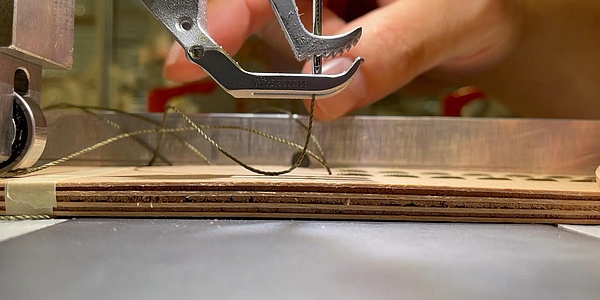
Yesterday's surveyors have long since arrived in the present. Geodesists work not only in the field or in the measurement laboratory but often also in front of a computer.
Manuel Kadletz, who found his way to the bachelor's degree programme in Geomatics Engineering (now the bachelor's degree programme in Geodesy) at the age of 25 after several years in business, is currently in the final spurt of the master's degree programme in Geodesy. He also worked part-time after the settling-in period starting in the third semester. Before the end of his bachelor's degree, one of his professors brought him to OHB Digital Solutions GmbH, a subsidiary of the German space company OHB SE. "I developed a real passion for my field of (satellite) navigation, which involves determining the position and attitude of an object in space, during my studies," says Kadletz, looking back. "Apart from that, I like working on innovative research projects together with experts from all over the world. In my most recent project, we were contractors for the European Space Agency (ESA). It was about the detection and reduction of interfering signals in aviation. Aircraft use satellite-based navigation for positioning. The goal of the project was to detect and prevent disruption of this positioning – thus making air travel safer."
The geodesy programme offers a wide range of specialties: engineering geodesy, the classical “surveying"; satellite geodesy, the observation of the Earth's gravitational field or determination of satellite orbits; remote sensing, the observation and measurement of the Earth by means of optical sensors; geoinformatics, the digital processing of data relating to a position in geographic space; navigation, routing, and the determination of the position and attitude of an object in space.
Finding the right study programme
The prospect of an education with very good career prospects and exciting professional fields is tempting, yet the question remains unanswered among prospective students: Is geodesy the right study programme for me? "I would recommend the programme to anyone interested in human- or nature-driven processes on the Earth or in near-Earth space covered by satellites. By combining natural sciences with technology, there is something for everyone," says a convinced Rudolf-Martin Gradinger, a student in the Geospatial Technologies master's programme.
The two TU Graz students Rudolf-Martin Gradinger and Paul Langhans relate in the News+Stories interview “It was in my master's degree that I discovered my passion” how they were able to use their strengths in the master's programme Geospatial Technologies during a simulated Mars mission.
Manuel Kadletz recommends the study programme to all those "who find mathematics easy and have an interest in one of the subject areas described above". The “family" size of the geodesy programme at TU Graz, with 20 to 30 first-semester students per year, certainly makes the start easier. "There is a tremendous team spirit between fellow students. After the first semester, you know everyone, especially if you are involved in the student council. If you need help with learning or with the exercises, you can always find someone," says Kadletz, describing the situation.
“After graduation, modern and dynamic career fields are waiting for graduates. The design of the study programme is constantly being adapted to these and also to technical changes. Today, even in basic training, the focus is different from what it was for me 25 years ago, and I find that very exciting. TU Graz can help shape this at a very high level, and in my field in particular it is one of the top universities in the world," adds Angelika Lippitsch.
Play video
Video "Geodesy TU Graz - From Earth to Space" (German)
Werner LIENHART
Univ.Prof. Dr.techn.
TU Graz | Institute of Engineering Geodesy and Measurement Systems (IGMS)
Steyrergasse 30/II, 8010 Graz, Austria
Phone: +43 316 873 6320
werner.lienhart@tugraz.at