
PHOTOCREDITS FEHLEN!!
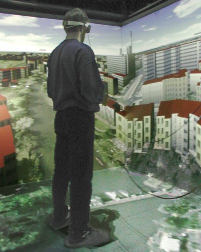
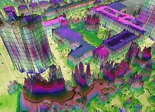
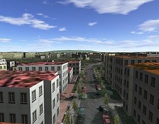
In his thesis Marcel Lancelle was researching aspects of automatic generation and visualization of a 3D city model using existing digital data. Air photos, LIDAR point clouds and soil usage and cadastral maps are used as data sources. Thesis: "Automatische Generierung und Visualisierung von 3D-Stadtmodellen" (in German, 2.7 MB) Paper presented at IVCNZ 2004: "Current Issues on 3D City Models" (in English, 566kB)