Surface documentation of concrete dams with modern total stations

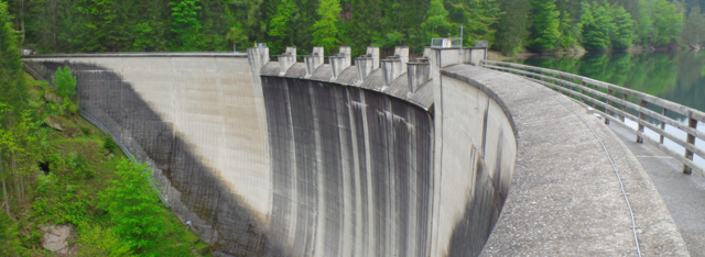
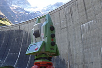
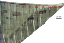
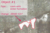
Critical structures such as large water dams require monitoring in regular intervals with geodetic and geotechnical sensors to detect anomalies in their behavior. An important aspect related to dam safety is the concrete’s state, currently assed by visual inspections and photo documentation by experienced dam engineers. As this methodology revealed several insufficiencies, new technologies such as Terrestrial Laser Scanning (TLS) and Imaging with e.g. inspection drones have been tested in the past. In our research, we investigate the potential of state-of-the-art total stations with scanning and imaging capabilities for surface documentation and evaluation of concrete dams. As a result, photorealistic 3D models and rectified ortho-images of the dam’s surface are obtained. Based on these findings, we developed a novel surface monitoring solution that requires a modern total station and a standard laptop only. The advantage of the proposed approach are its ease use and the high degree of automation in terms of data acquisition and interpretation. The system provides initial results directly on-site, in order to enhance the inspection process (see video below). We demonstrated that modern total stations constitute a promising tool for detecting, measuring and monitoring concrete deficiencies.
Partners
image/svg+xml
Related publications
image/svg+xml

Kalenjuk, S., Lienhart, W., Wackenreuther, H. (2017) Automatisierte Oberflächendokumentation von
Talsperren mittels bildunterstützter Totalstationen
. 19. Internationale Geodätische Woche Obergurgl 2017, February 12th - 18th: pp 109-118, PDF.

Kalenjuk, S., Lienhart, W. (2017) Automated Surface Documentation of Large Water Dams Using Image and Scan Data of Modern Total Stations. FIG Working Week 2017, May 29th - June 2nd, Helsinki: 8p, PDF.