Virtual Reality for the Planing, Processing and Visualisation of Monitoring Data
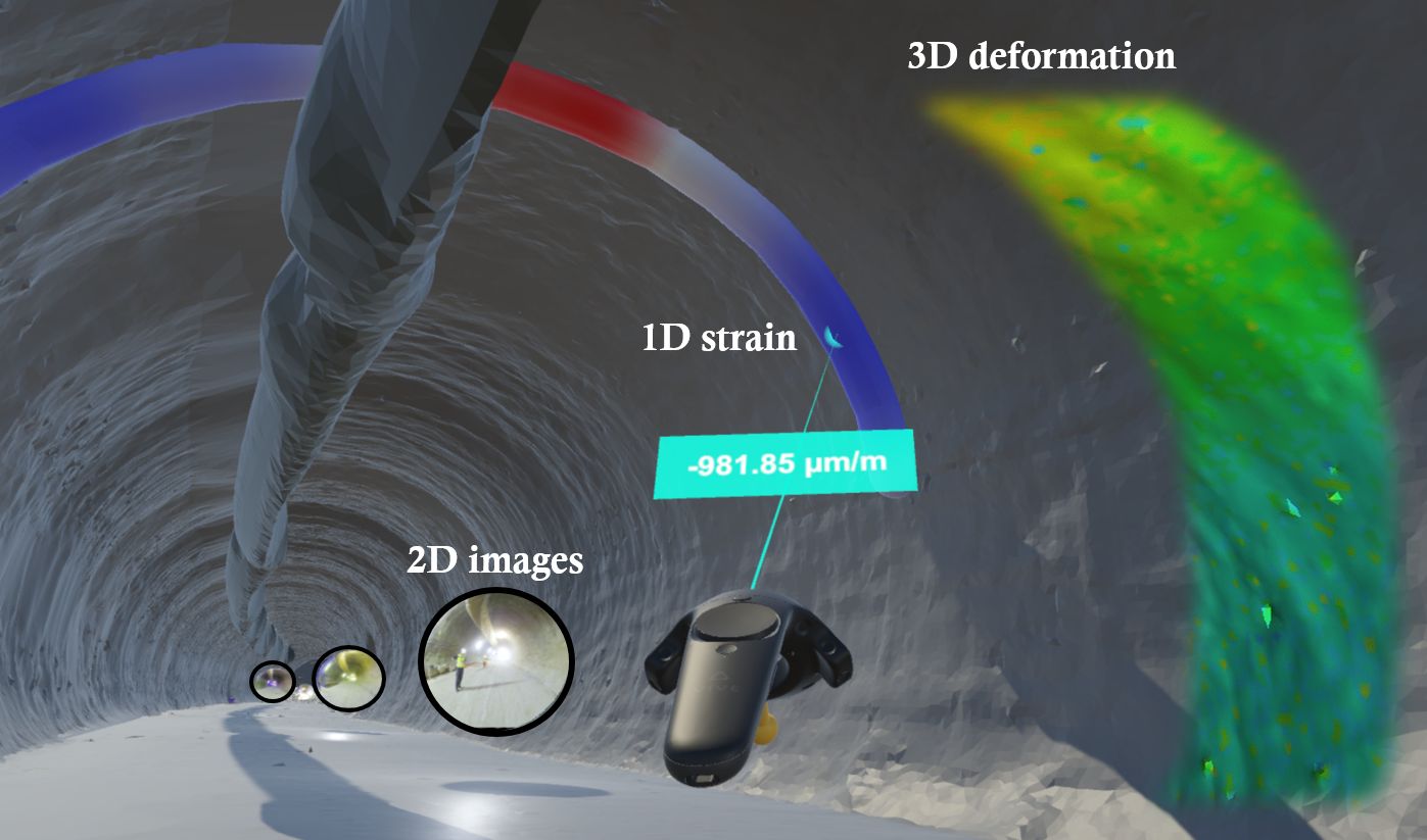
Bauer P, Lienhart W (2022, December 5) Interaction with structural health monitoring data of a tunnel site in a 3D VR environment. Video, Graz University of Technology. Full resolution video: https://doi.org/10.3217/jsjnp-qsn27, low resolution video below
Bauer P, Schönberger C, Lienhart W (2024) Interactive planning of GNSS monitoring applications with virtual reality. Survey Review: 1-6. BEST PAPER AWARD WINNER DOI
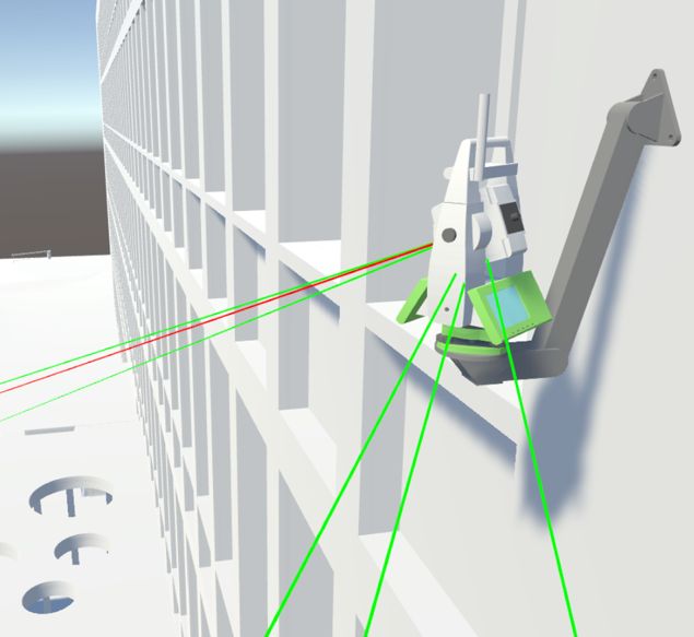
Bauer P, Lienhart W (2023) Augmentation approaches for geodetic permanent monitoring systems in dynamic urban environments. Survey Review: 1-9. DOI
Bauer P, Lienhart W (2023) 3D concept creation of permanent geodetic monitoring installations and the a priori assessment of systematic effects using Virtual Reality. Journal of Applied Geodesy 17(1): 1–13. DOI
Monsberger C, Bauer P, Buchmayer F, Lienhart W (2022) Large‑scale distributed fiber optic sensing network for short and long‑term integrity monitoring of tunnel linings. Journal of Civil Structural Health Monitoring, (2022) 12, 1317–1327. DOI
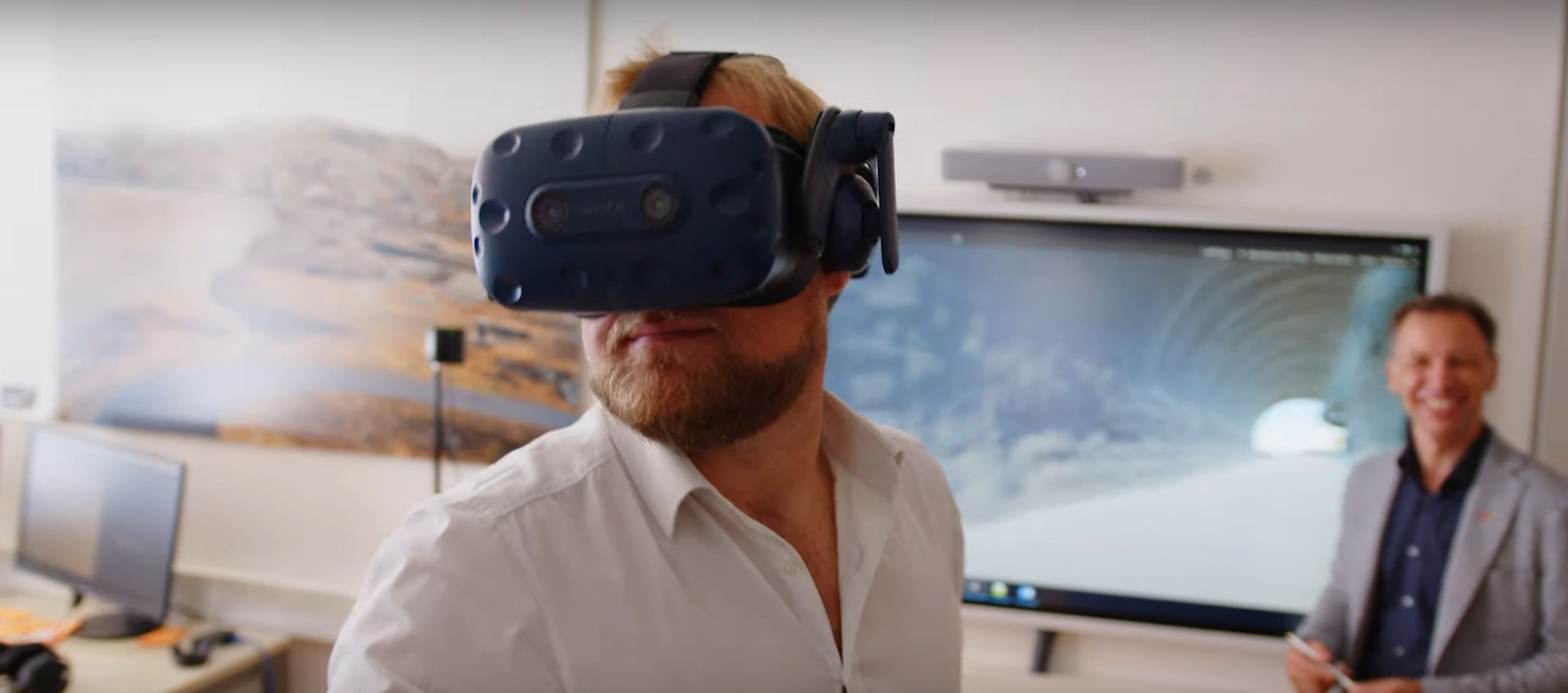
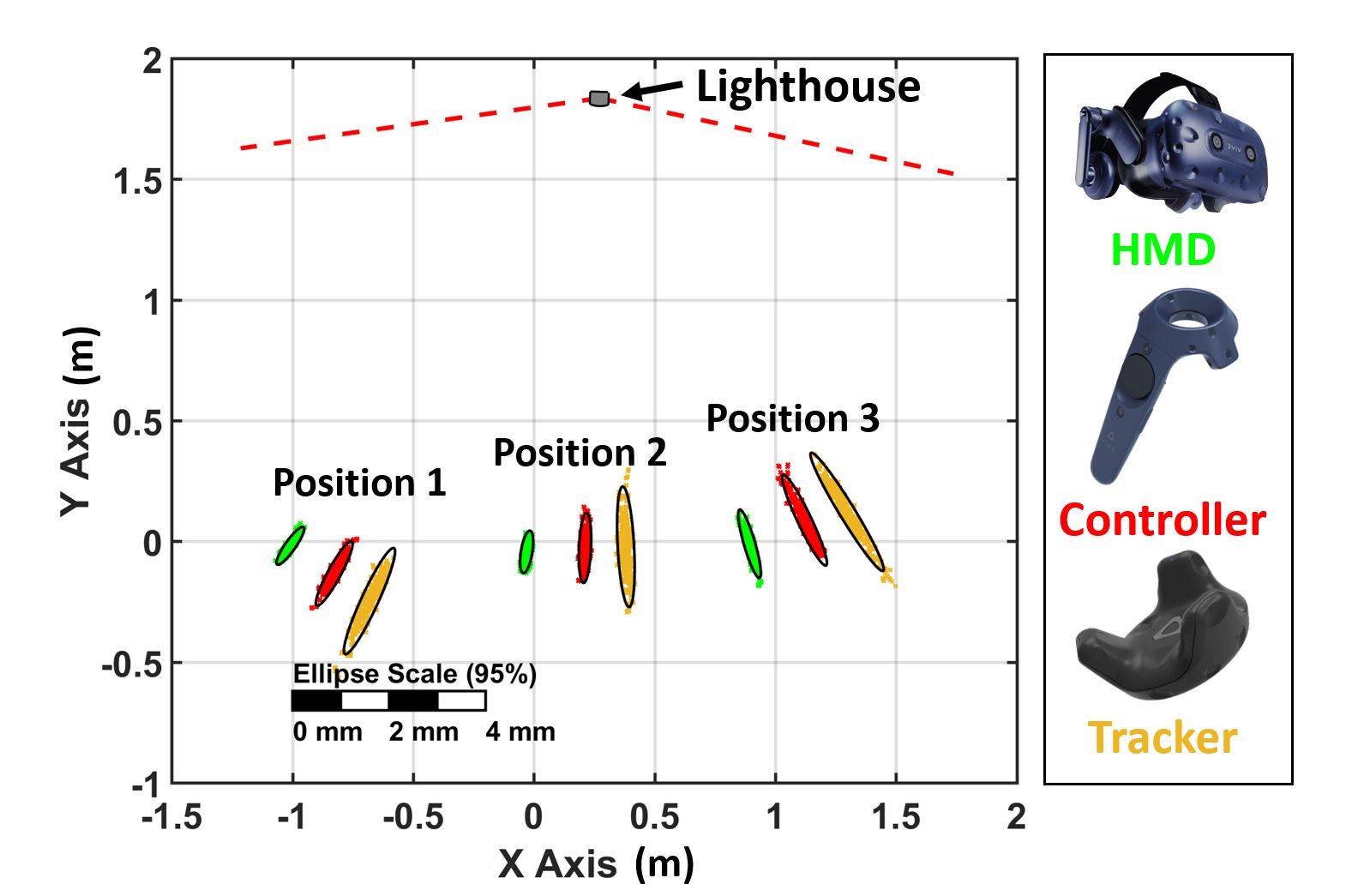
Bauer P, Lienhart W, Jost S (2021) Accuracy Investigation of the Pose Determination of a VR System, Sensors, 21, 1622. DOI